Property Record
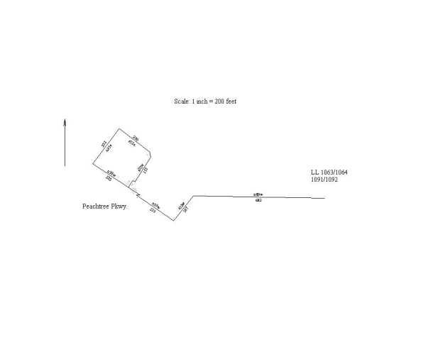
2405 Peachtree Pky, Cumming, GA 30041
NEARBY LISTINGS FOR SALE OR LEASE
Property Detail
2405 Peachtree Pky
112-010
John Rountree & Fr-141 Llc Sur
Commercialnec
2-1 1062-1063 TR 1
X
Forsyth
13117C0235F
Georgia
2023
1.14 AC
2024
N Fulton/Forsyth County
130614
Atlanta
3,035 SF
Atlanta-Sandy Springs-Roswell, GA
DEMOGRAPHICS near 2405 Peachtree Pky
1 Mile
3 Mile
5 Mile
2024 Total Population
7,255
61,468
175,800
2029 Population
8,370
68,553
193,159
Pop Growth 2024-2029
+ 15.37%
+ 11.53%
+ 9.87%
Average Age
39
39
38
2024 Total Households
2,355
19,429
57,704
HH Growth 2024-2029
+ 15.46%
+ 11.72%
+ 9.77%
Median Household Inc
$140,048
$165,001
$141,358
Avg Household Size
3.10
3.10
3.00
2024 Avg HH Vehicles
2.00
2.00
2.00
Median Home Value
$466,370
$526,942
$488,132
Median Year Built
2004
1999
2000
Nearby Places
- Restaurants
- Banks
- Shops
- Fitness
- Groceries
Nearby Properties
Address
Land Use
TOTAL SIZE
Lot Size
Zoning
Address
Land Use
TOTAL SIZE
Lot Size
Zoning
321,541 SF
63.16 AC
OI
Address
Land Use
TOTAL SIZE
Lot Size
Zoning
477,112 SF
20.58 AC
MP
Address
Land Use
TOTAL SIZE
Lot Size
Zoning
328,265 SF
4 AC
MP
Address
Land Use
TOTAL SIZE
Lot Size
Zoning
408,982 SF
30.61 AC
CUP
Address
Land Use
TOTAL SIZE
Lot Size
Zoning
47,721 SF
12.99 AC
CBD
Address
Land Use
TOTAL SIZE
Lot Size
Zoning
321,116 SF
17.06 AC
CBD
Address
Land Use
TOTAL SIZE
Lot Size
Zoning
2.12 AC
MP
Address
Land Use
TOTAL SIZE
Lot Size
Zoning
249,386 SF
33.24 AC
RES6
Address
Land Use
TOTAL SIZE
Lot Size
Zoning
406,800 SF
11.61 AC
MP
Address
Land Use
TOTAL SIZE
Lot Size
Zoning
398,840 SF
45.03 AC
Address
Land Use
TOTAL SIZE
Lot Size
Zoning
291,232 SF
71.66 AC
RES3
Address
Land Use
TOTAL SIZE
Lot Size
Zoning
141,728 SF
32.45 AC
M1
Address
Land Use
TOTAL SIZE
Lot Size
Zoning
232,832 SF
17.74 AC
M1
Address
Land Use
TOTAL SIZE
Lot Size
Zoning
171,590 SF
17.29 AC
OI
Address
Land Use
TOTAL SIZE
Lot Size
Zoning
70,832 SF
113.56 AC
CUP
Address
Land Use
TOTAL SIZE
Lot Size
Zoning
116,640 SF
6.92 AC
MP
Address
Land Use
TOTAL SIZE
Lot Size
Zoning
122,964 SF
7.82 AC
RES6
Address
Land Use
TOTAL SIZE
Lot Size
Zoning
170,400 SF
24.98 AC
M1
Address
Land Use
TOTAL SIZE
Lot Size
Zoning
279,903 SF
62.24 AC
M1
Address
Land Use
TOTAL SIZE
Lot Size
Zoning
102,784 SF
9.16 AC
MIAC
Address
Land Use
TOTAL SIZE
Lot Size
Zoning
136,122 SF
9.95 AC
M1
Address
Land Use
TOTAL SIZE
Lot Size
Zoning
117,036 SF
13.62 AC
CBD
Address
Land Use
TOTAL SIZE
Lot Size
Zoning
169,042 SF
19.36 AC
M1
Address
Land Use
TOTAL SIZE
Lot Size
Zoning
163,592 SF
17.60 AC
OI
Address
Land Use
TOTAL SIZE
Lot Size
Zoning
111,436 SF
1.87 AC
OI
Address
Land Use
TOTAL SIZE
Lot Size
Zoning
158,772 SF
15.93 AC
M1
Address
Land Use
TOTAL SIZE
Lot Size
Zoning
73,963 SF
10.57 AC
CBD
Address
Land Use
TOTAL SIZE
Lot Size
Zoning
102,560 SF
7.56 AC
MIAC
Address
Land Use
TOTAL SIZE
Lot Size
Zoning
91,296 SF
12.76 AC
CBD
Address
Land Use
TOTAL SIZE
Lot Size
Zoning
88,288 SF
7.76 AC
C1
The World's #1 Commercial Real Estate Marketplace
Connect with us
© 2025 CoStar Group
The information above has been obtained from sources believed reliable. While we do not doubt its accuracy we have not verified it and make no guarantee, warranty or representation about it. It is your responsibility to independently confirm its accuracy and completeness. Any projections, opinions, assumptions, or estimates used are for example only and do not represent the current or future performance of the property. The value of this transaction to you depends on tax and other factors which should be evaluated by your tax, financial, and legal advisors. You and your advisors should conduct a careful, independent investigation of the property to determine to your satisfaction the suitability of the property for your needs.